The Healthy Jew’s Guide for Journeying in Israel (Part 2)
The four best regions for traveling Israel - the Jerusalem mountains, Judean lowlands, Galil, and Golan Heights.
Dear Healthy Jew,
Last week, at the height of the traditional mourning period over the Temple’s destruction and the Jewish people’s loss of Israel, we began Healthy Jew’s Guide for Israel Journeys with suggestions where not to travel and hike, based on all we learned in previous weeks about life being a journey from here to there.
Now we’re in the designated three weeks that are summer vacation for much of the religious community in Israel. It’s called bein hazmanim, or “between the times,” because it’s after the summer semester and before the short fall semester that begins with the Jewish month of Elul. During bein hazmanim, droves of yeshiva students and their families take to the country’s trails to discover Israel beyond the stacked concrete boxes that, frankly, can be found anywhere on earth where people build buildings.
So it’s high time that we take a look at where are the finest regions for journeying in Israel.
Where Yes to Journey In Natural Israel
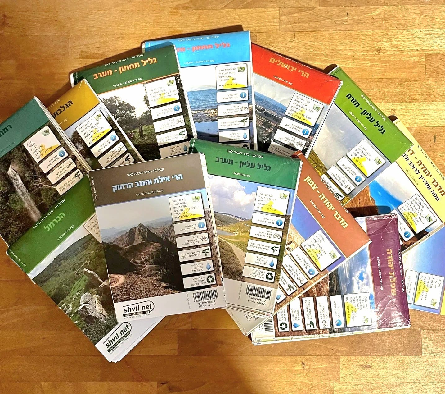
After last week’s discussion, we’re left with four regions for our voyages.
As we’ll see soon, all four are relatively small areas, and most are adjacent to Israel’s most heavily populated cities. This is one of the special gifts of Natural Israel: wherever you live, chances are that the country’s exceptionally rich history and nature are very close to your home, often only a few minutes away. (In comparison, on a recent trip back to Baltimore, MD, USA, I checked to see if I could walk from home into open nature, and saw that I’d need to trek on the shoulders of highways for two days to get there!)
I’ve already shared a few of my travels through Natural Israel, and hope to share many more in the future. But today I want to give you a concise outline for each area. Once you know the big picture, you can determine which region is most suitable for each journey. Then you can narrow down more specifically where to go. Or, perhaps, you’ll prefer to just walk wherever the trail will take you.
1. Jerusalem Mountains
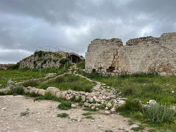
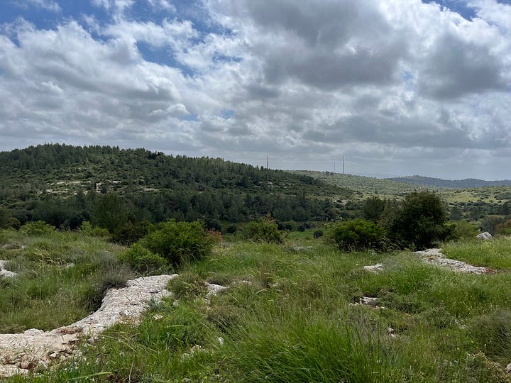
People call them mountains, although they usually feel more like biggish hills. But I’m not gonna argue with King David (Psalms 125:2):
“Jerusalem, mountains surround her. And [so] God surrounds His nation, from now until forever.”
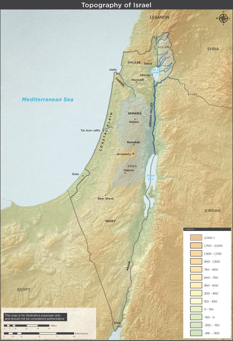
For our purposes, the Jerusalem mountains are approximately 15 square miles of forests, fields, and hills with Jerusalem to the east, Bet Shemesh to the west, Route 1 to the north, and Route 375 to the south. The West Bank begins not far to the north and south of these highways, which is no coincidence. These two roads have been the main arteries to Jerusalem for thousands of years, so between them is the natural extension of Jerusalem. Shortly beyond them begin slightly different geographical regions: the Hebron mountains to the south, and the Judean mountains (followed by the Shomron) to the north.
The Jerusalem mountains are rich with history and plant life, and are a great place to explore Natural Israel. Because they’re adjacent to Jerusalem, most of this area is very accessible by car and bus.
Security Alert! Be careful in the southeastern corner of the Jerusalem mountains; some trails and parks can approach relatively dangerous suburbs of the city.
2. Judean Lowlands
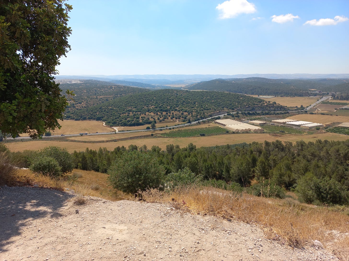
This region was mentioned already in the Pentateuch (Deuteronomy 1:7) as the shefeila, meaning the lowlands. (It wasn't yet attributed to Judah because the nascent Israelites hadn’t yet entered Israel!) The shefeila’s low, undulating hills and fertile grasslands are great for raising crops and livestock, and they were heavily populated for most of ancient Israel’s history - after David beat Goliath near the eastern edge of the shefeila’s Elah Valley. In the aftermath of that epic duel, and then with King David’s many successful military campaigns, the Philistines pulled back toward Gaza, and for most of the First Temple Period this was where most Temple-attending Jews lived. (After Solomon’s death, the kingdom split and northern Israel was mostly ruled by wayward kings until the Assyrians sent them packing over a century before the Temple’s destruction.)
The shefeila was also a center of settlement throughout the Second Temple Period, as attested to by numerous tunnel systems in which Torah-observing Jews hid from Greek persecutions. Even after the Temple’s destruction in 70 CE, many Jews lived here until the Bar Kochba revolt’s end when the Romans brutally extinguished Jewish life from the entire region.
Today, the Judean lowlands are again settled with many small towns and the ever-expanding city of Bet Shemesh. This area too is relatively accessible by car and bus, although the distances are larger than in the Jerusalem mountains to the east.
What are the shefeilah’s borders? Right to the east of Bet Shemesh (not far from where I live), the Jerusalem mountains begin their steep ascent from the shefeila, which sits mostly around 200 meters above sea level, until they reach Jerusalem which is perched high up at 800 meters. We’ll consider the shefeilah’s western end at Israel’s main highway, Route 6; afterwards population centers become denser in a no-man’s land of sorts between Gush Dan and the Negev. On the northern edge of the shefeilah, the West Bank looms to the northeast and the cities of Gush Dan to the northwest. And similarly to the south: the West Bank (not far from Bet Shemesh, actually) blocks our travels to the southeast, and the Negev desert to the southwest.
3. Galil
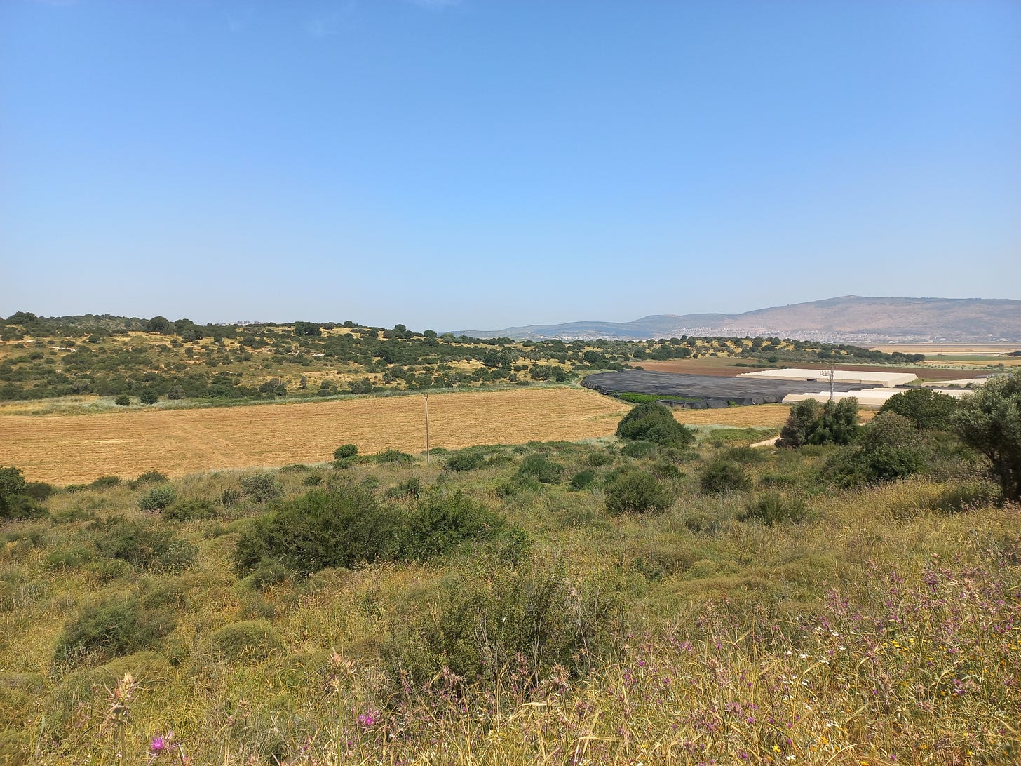
North of the shefeilah, our journeying is hindered by the West Bank (to the east) and the packed cities of Gush Dan (to the west). But thankfully, we can hit the trail again when we reach the Galil, a geographical region that was the center of Jewish life in Israel from Bar Kochba’s defeat (around 136 CE) until the modern State of Israel was established in 1948.
Today the Galil is relatively sparsely settled, although there are several cities, such as Haifa, Safed, and Tiberius. Yet the large expanses between settlements, usually bursting with historical sites and natural life, provide ample space for serious journeying.
The Galil’s northern border is the country of Lebanon, although, interestingly enough, the historical and geographical Galil continue deep into modern Lebanon, ending only with Mount Lebanon.
Security Alert! Southern Lebanon today is occupied by Hezbollah, a terrorist organization that’s devoted, among other things, to destroying Israel. Therefore, my paratrooper friend suggests we take special care at the Galil’s northern edges.
The Jordan river and Lake Kinneret border the Galil to the east, and the Mediterranean Ocean to the West. The Galil’s southern border is the West Bank to the southeast and the cities of Gush Dan to the southwest.
Another Security Alert! There are many Israeli Arab cities and towns in the Galil. By and large, they and their environs are considered safe. But there are several towns that aren’t too friendly (mostly in the southern Galil). This isn’t a reason not to journey through the Galil, but if you’re dressed overtly Jewish, make sure to inquire with local friends before entering anywhere with an Arabic-sounding name.
I have so many experiences to share about hiking in the Galil that I’m not going to start, lest this guide forever continue. We’ll be back here.
4. Golan Heights
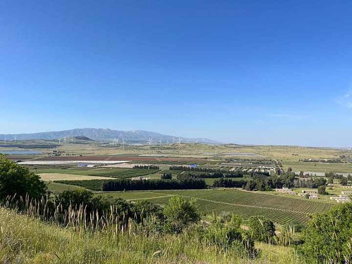
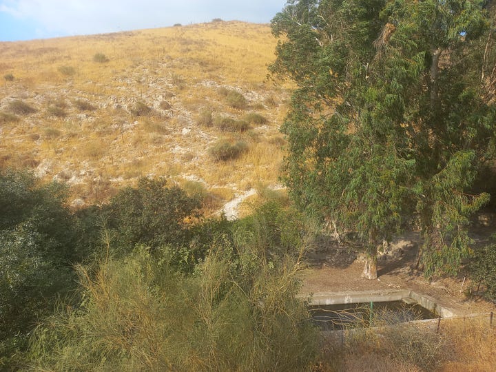
Finally, the Golan Heights, one of my favorite journeying regions in Israel. Nothing can match the Golan’s trails: long and quiet (but not endless or lonely), stunningly beautiful, mostly flat, but with a dozen or so mountains (mostly extinct volcanoes) protruding upwards.
Jewish history here is different than the rest of Israel. Many synagogues survive from Mishnaic and Talmudic times, but the traditions are quieter than the other areas we’ve traveled: less name dropping and bible-quoting with chapter and verse, more plain and genuine Natural Israel.
Today, the Golan hosts many lovely towns, a mid-sized city or two, and thousands of freely roaming cows. The human population of the southern Golan is mostly Jewish, and the northern Golan (near Mount Hermon) is friendly Druze Arabs. (I once met a Druze school group on the trail.) Because of the Golan’s geographical isolation from the rest of the country, it’s arguably Israel’s safest region to hike and camp. I’ve long lost track of how many locals have told me that it’s perfectly fine to plop down my tent absolutely anywhere in the Golan, even at the edge of some random field.
Syria marks the Golan’s northern and eastern borders; Jordan sits to the south. To the west, steep cliffs drop down to the Jordan River and Lake Kinneret. The Syrian border is much calmer nowadays than the Lebanese, because for the last decade the Assad family have had bigger fish to fry than little Israel. For that reason, it was safe for me to journey quite close to the border - following marked trails, of course. (My paratrooper friend concurs, although - security alert! - he suggests we pay a bit more attention when close to the border.)
Before you go, maybe drop a comment about where you’ve journeyed - in Israel and throughout the world. Where did you experience dwelling in the process of moving from here to there?
Thank you for reading Healthy Jew.
Here are 2 great paths to continue the journey:
Also check out this intro and index to explore hundreds of posts about our 3 Healthy Jew topics: Wellness with Wisdom, Land of Life (Israel), and Sensible Spirituality.
Finally, always feel free to reach out here with any comments, questions, or complaints:
I look forward to hearing from you!
Be well,
Rabbi Shmuel Chaim Naiman


