At the Edge of the Golan (Part 1)
Hiking along the Syrian border: Yom Kippur War battlefields, Valleys of Tears, twin mountains, King David's queens, a turtle, Syrian spooks and panoramic vistas of Natural Israel's two regions.
Katzrin
Dear Healthy Jew,
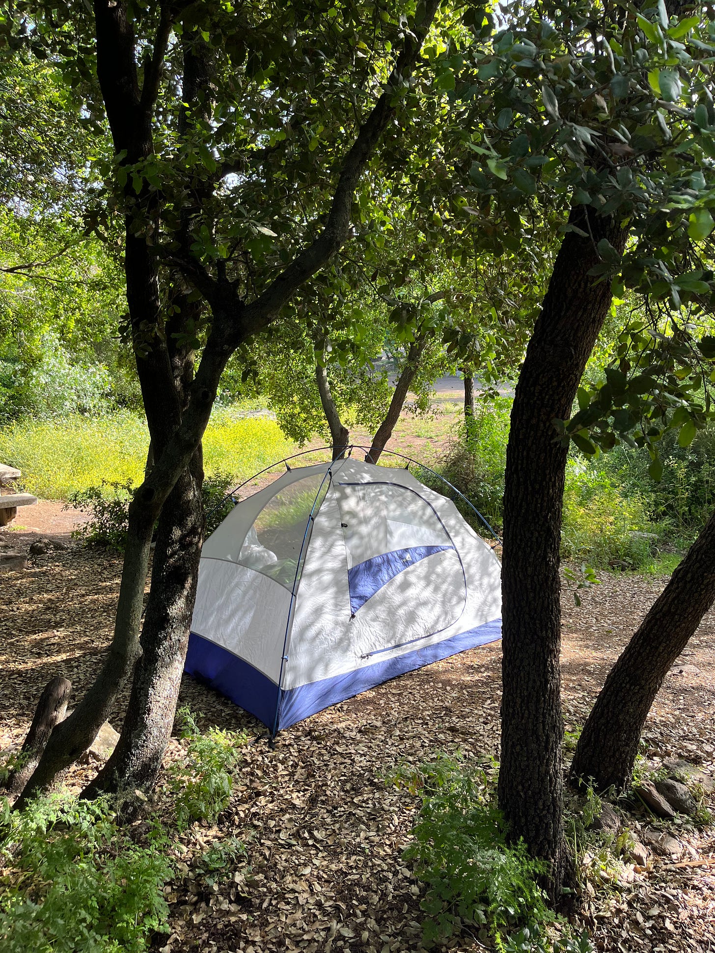
Tuesday night at ten, after five hours on busses, I pitched my tent in a campground right outside ancient Katzrin. Only the park’s wall separated me from the synagogue and village dating back over 1500 years to the heart of the Talmudic period. Perhaps some of the Talmud’s intricate discussions about Jewish law and biblical exegesis happened right here.
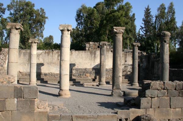
First thing in the morning, long before the archeological park opened, I walked into modern Katzrin and caught a bus heading northeast. My general plan was to get off at the foothills of Mount Hermon and meander southwards for a few days, on or near the scenic Golan Trail. I was eager to explore the area’s cultural heritage, modern history, and, no less important, its plants, animals, and people. At several points along the way, my maps and apps told me, the trail comes within half a mile of the Syrian border, an alluring prospect I also found just a tad scary.
The Golan Heights
In case you’re not caught up on this corner of Middle East, here’s a quick update. When the State of Israel was founded in 1948, the entire Golan Heights – an important strategic area that overlooks Lake Kinneret, its precious upstream water sources, and a good chunk of northern Israel – was part of Syria. During the Six Day War of 1967, Israel conquered and occupied most of the Golan. At the start of the Yom Kippur War of 1973, Syrian tanks rolled back inside while most of Israel was fasting and praying in synagogue. (More on that soon.) After yet again defeating the Syrians, Israel officially annexed the area in 1982.
That’s a short, factual recent history of the Golan Heights. Whether the military and political actions of Israel and Syria were justified is beyond Healthy Jew’s purview. Politics are important, and I have some opinions, just like you. But politics are not everything.
This little corner of the internet seeks to unite health-seekers around purposeful wellness in as broad a way as possible. Today we’ve come together to explore Natural Israel, a subject that includes ancient and recent human history, because people too are part of the natural world. I happen to be Jewish, so I focus on the Jewish traditions and perspectives. Nevertheless, for our purposes, any political implications of this history are but distractions. For the moment, we’re just hiking.
The Valley of Tears
I hopped off the bus near the village of El-Rum – not far from the slow ascent to the snow-capped Mount Hermon – and hopped on the southbound Golan Trail. My first stop was a beautiful lookout over the Valley of Tears, right under the charming little Mount Hermonit, or Little Hermon.
The Valley of Tears, or, in the original Hebrew, Emek Habacha, is first mentioned by King David in Psalms (84:7), although it’s unclear if he was referring to an actual place on Earth or somewhere more spiritual. Classic commentators even differ on the meaning of bacha – possibilities range from a local shrub to the depths of Torah wisdom – although the Talmud (Eruvin 19a) understood that it indeed refers to tears of sadness. Perhaps the Valley of Tears was the site of one of David’s battles with the Philistines at Bechaim (see Samuel II 5:23-24).
Much later, the sixteenth century Rabbi Shlomo Alkabetz of Safed, located just a few dozen miles to the west of this Valley of Tears, eternalized the conceptual Valley in his classic Lecha Dodi:
You [Jerusalem] have sat long enough in the Valley of Tears, [it is time] for Him to have compassion on you.
All this being said, it seems that our Valley of Tears, situated on the border of the Golan Heights and Syria, isn’t anywhere near its namesake biblical valley. Which isn’t so terrible, because the whole affair might have been metaphorical to begin with.
Whatever the case, our valley’s battles and tears aren’t ancient nor allegorical.
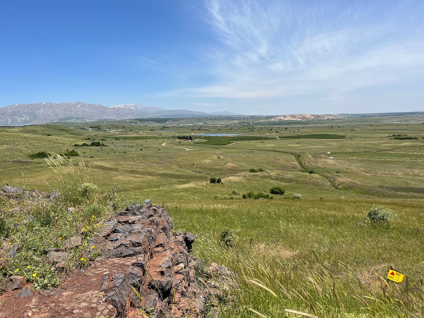
On Yom Kippur 1973, Syrian tanks stormed across this valley in yet another attempt to drive Israel into the sea. In one of the fiercest clashes of the war, 170 Israeli tanks held off the Syrian onslaught of 1400 tanks for four days. Looking out at the tragic scene of hundreds of destroyed tanks and crews, some astute fellow gave the battlefield this name and it stuck.
Today most of the valley is back under Syrian control, and much of the rest is uncleared minefields. On its western ridge, right under the Little Hermon, is a memorial (accessible by car) for the soldiers who died here.
On the morning I visited, which was a regular spring day, two groups of rookie soldiers were here for orientation classes. They told me I could listen in. Turns out one of the talks was from the fellow who had shot the first Israeli shell of the battle here. The other group’s grey-haired bus driver told me with a shrug that he had fought here too. Why, of course.
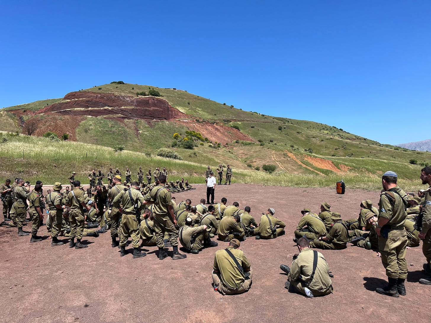
Looking out on the valley, I noticed a hawthorn bush flowering right outside the memorial, and imagined how half a century ago some worn and shocked soldiers might have brewed its calming medicinal tea right here in the dark of the night. Perhaps it soothed their nerves after a day of traumatic fighting, or even helped lower their blood pressure. If not them, it could have been David’s troops in the other Valley of Tears.
It’s always heartening to notice the endless interdependency of plants and people, watching and following each other through history.
Queen Avital
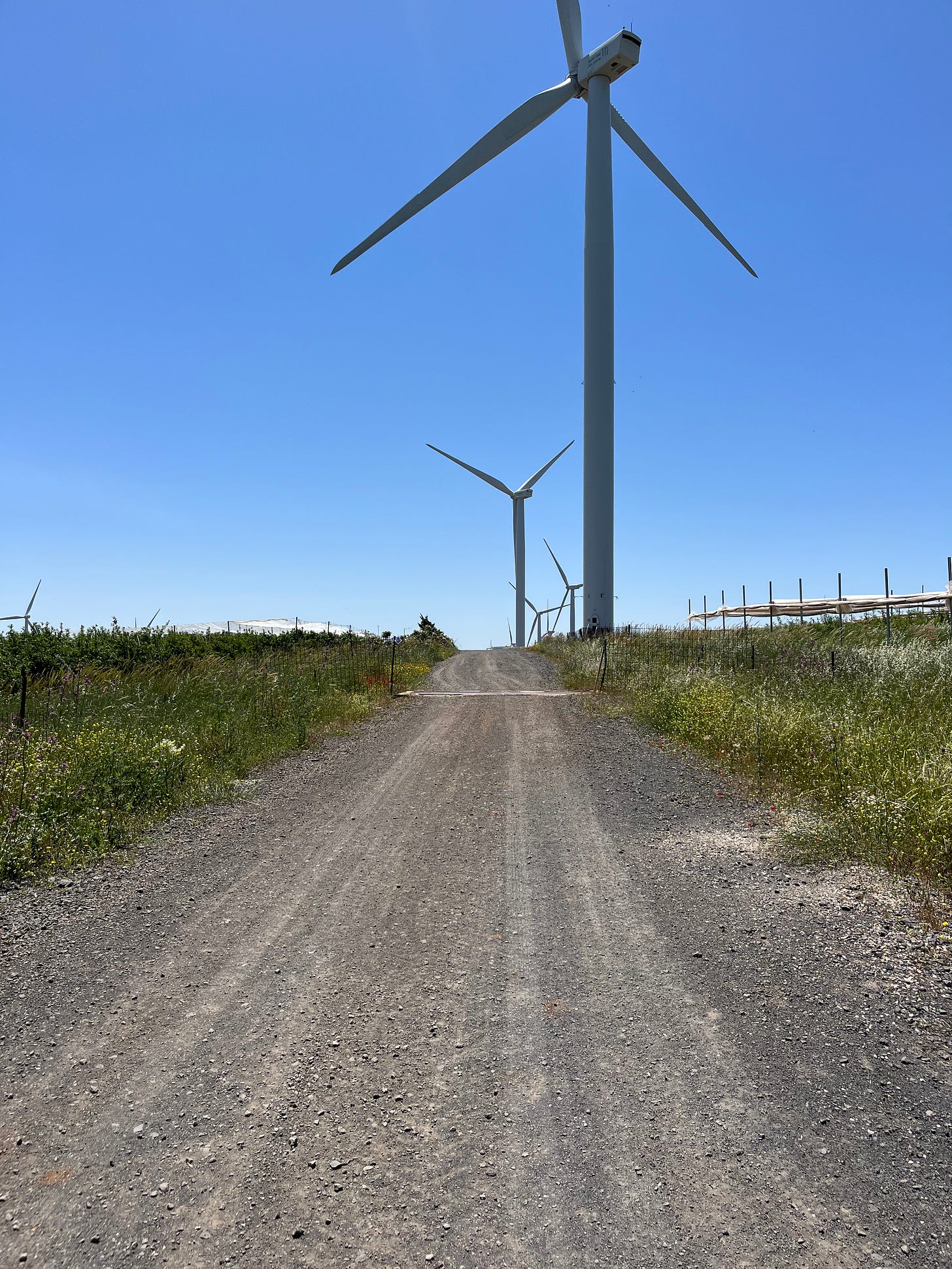
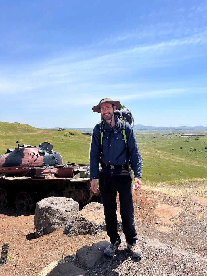
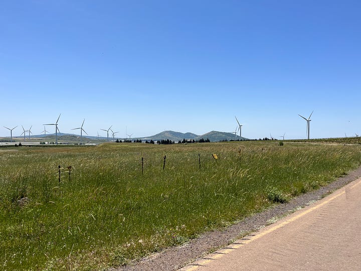
An hour or so later, I’m back on the Golan Trail, marching along the huge turbines slowly revolving above me. (Opposition to plans for more turbines farther north has been in the news lately.)
I pass one of Israel’s few cherry orchards, and am now heading toward the twin mountains that dominate the central Golan Heights, Mount Bental and Mount Avital. The second holds a special place in my heart because it carries the same name as our eight-year-old daughter.
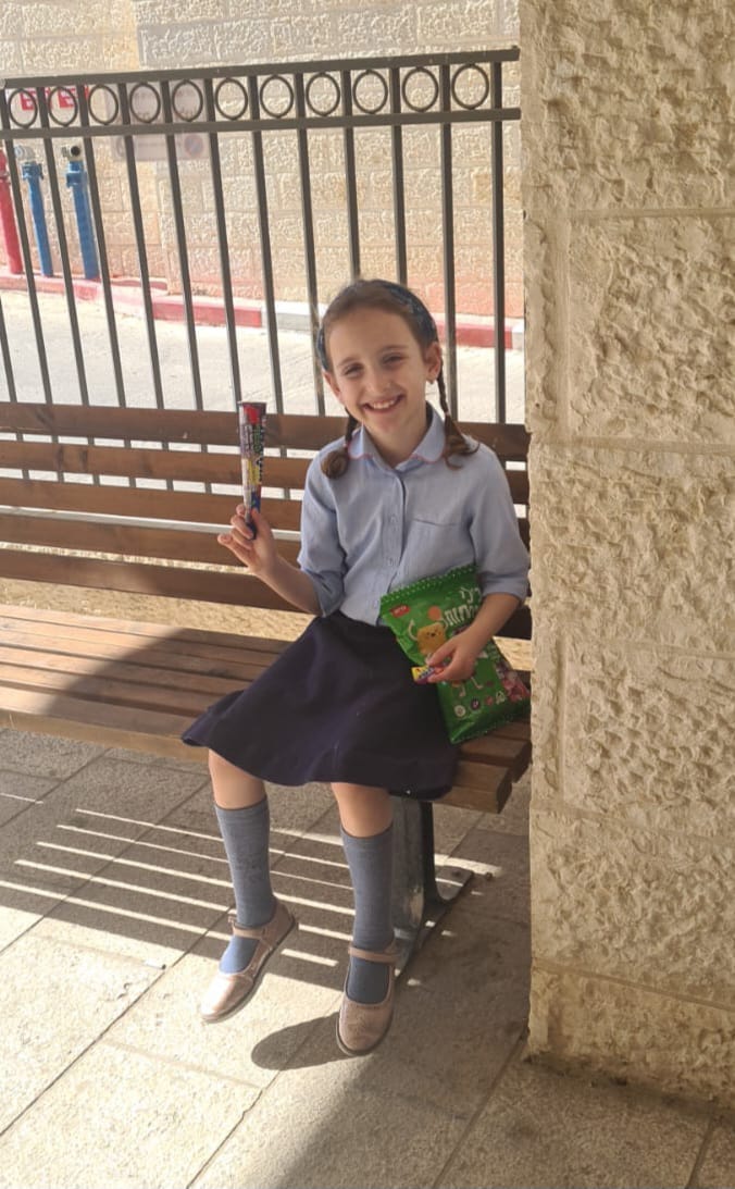
Unlike the Valley of Tears, the original Avital was definitely a real person: one of King David’s seven queens. In fact, perhaps she’s the most relevant of the bunch for the Jewish people today.
Unfortunately, we aren’t presently gathered together, governed, and guided by the Solomonic lineage of David’s family; the next king descended from David through Solomon will be the Messiah. Yet Jewish national identity still survives and thrives, largely due to another facet of David’s royalty: the Torah-scholar princes of the Mishnaic period, all descendants of David through Shefatya the son of Avital (Kesubos 62b).
Beginning from Hillel (c. 110 BCE - c. 10 CE), then alternating through three Rabbi Shimons and two Rabbi Gamliels, and climaxing with Rabbi Yehuda Hanasi (135 CE - 217 CE) – the redactor and editor of the Oral Tradition into the Mishnah – this family of Davidic princes forged a model of Jewish national life that transcends political power. During the darkest times of Roman oppression, they replaced earthly dominion with the heartfelt quest to master and transmit intact the entire corpus of Torah law and thought. Later on, through the never-ending horrors of pogroms, inquisitions, and the Holocaust, millions of Jews have found meaning, comfort, and hope by immersing themselves in this Davidic lineage’s legacy of wisdom.
The Talmud (Sanhedrin 5a) teaches that the forefather Yaakov (Jacob) referred to these princes when he blessed his son Yehuda (Judah), “Lawgivers will never be removed from Yehuda’s offspring” (Genesis 49:10).
I wished the connection between Avital the mountain and Avital the person was more historical than the Valley of Tears, but, alas, this corner of biblical Israel is rife with biblical names that aren’t rooted in biblical history. Apparently Mount Avital is called after the plentiful dew (or tal) that accumulates on its slopes. Oh well.
Twin Mountains: Bental and Avital
Getting back to reality, Bental’s peak features a lovely café and beautiful lookout area which are easily accessible by car. The top of Avital, on the other hand, hosts an Israeli intelligence base which snoops out onto Syria with antennas and dishes holding secrets too sensitive for even the hawthorn bushes to hear.
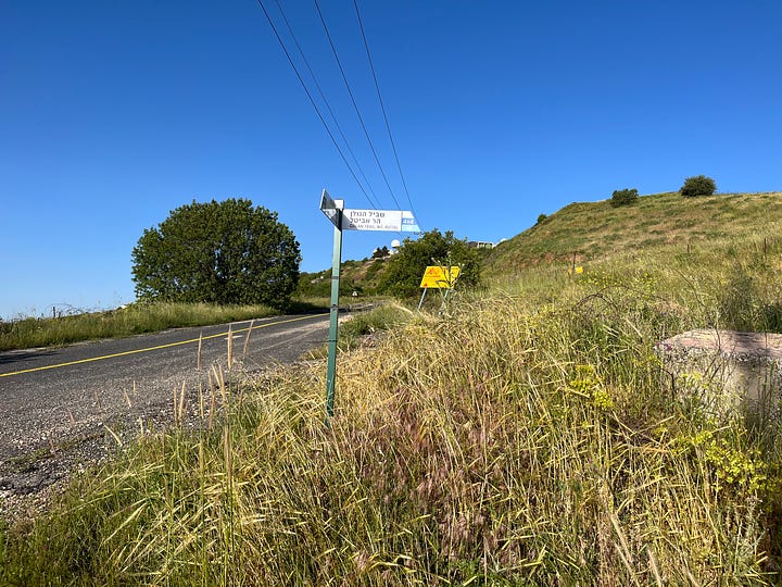
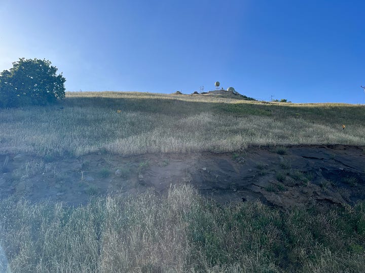
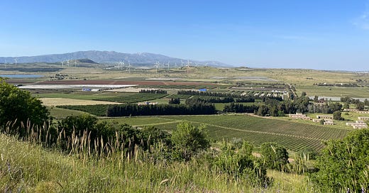
But none of this disturbs the diligent hiker, because the Golan Trail loops around both mountaintops next to a jeep track, just a few hundred feet below their summits. The views of the entire Golan Heights, from Lake Kinneret all the way to Mount Herman, are breathtaking indeed.
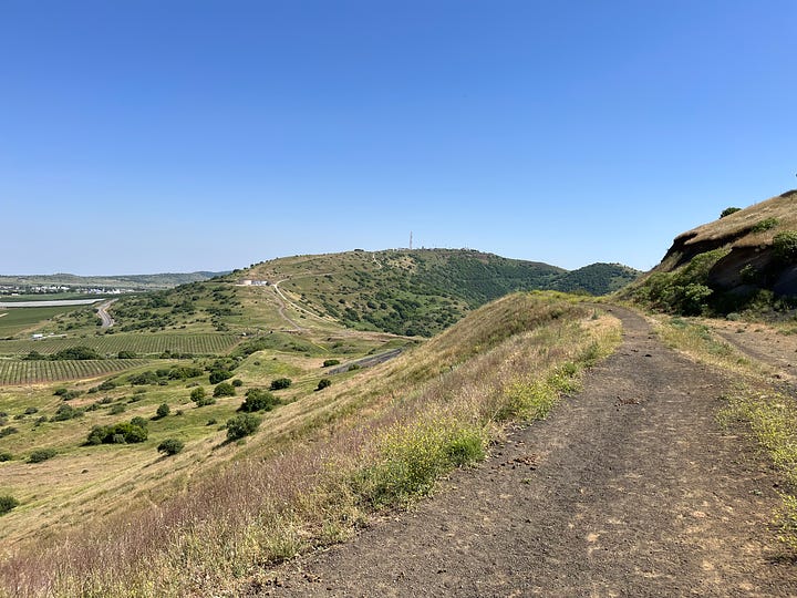
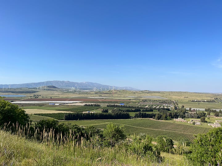
There was also lots of red clover – the edible, medicinal type – along the trail, and, of course, the ubiquitous flowering hawthorns.
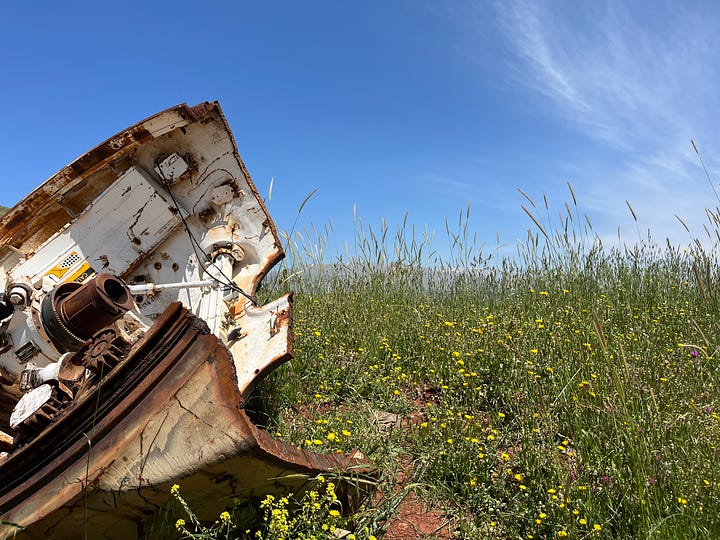
Somewhere on the way, while resting on top of some army vehicle skeleton that’s half buried right on top of the trail, I opened a book I had brought along, and happened to read the following passage:
There must be movement back and forth, from the mountaintop to the marketplace. But just now is a moment for the mountaintop. How will you use it, I wonder?1
I thought that was cool synchronicity.
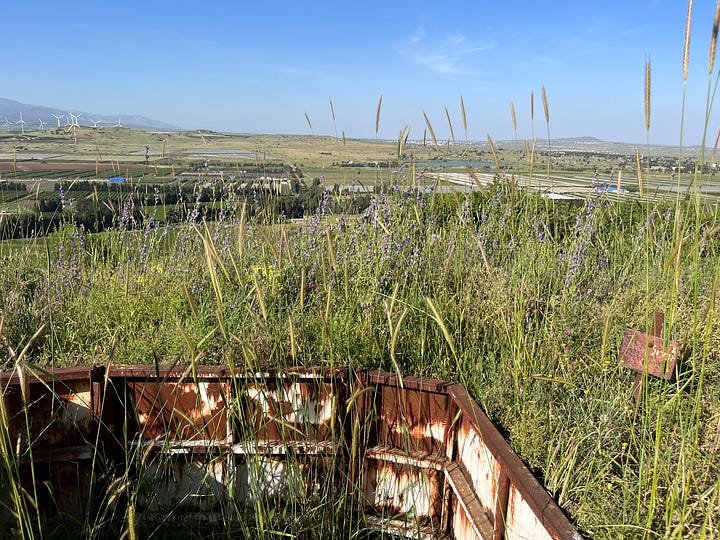
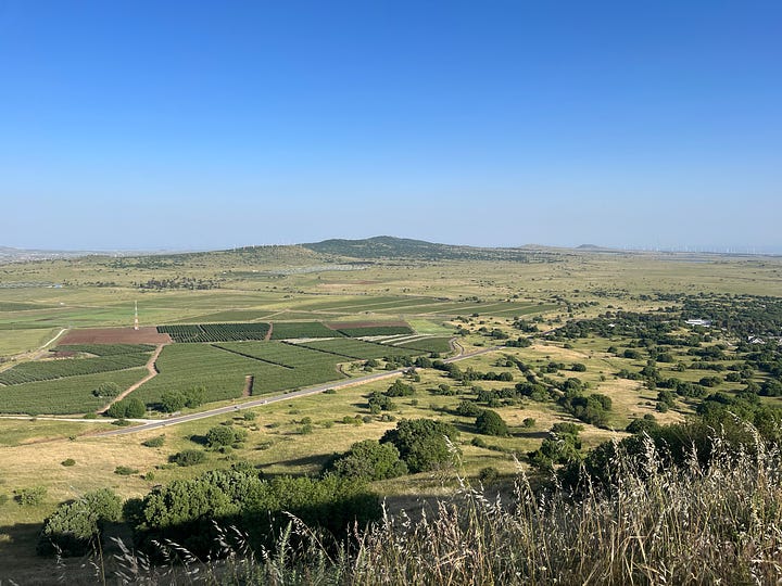
Then I met a turtle. And then another turtle. I picked one of them up for a few seconds, put it down gently, and it scampered away, slow as a turtle.
That night I camped in a little campground right outside of the town of Ein Zivan, with Mount Avital and its metal bristles looming behind me. I’d considered continuing a bit more on the Golan Trail and sleeping in nature with the cows. But the map showed the trail’s route veering straight east toward Syria, and the app said that during security tensions the army sometimes closes this stretch. So I stayed put.
Up the Last Ridge
Please Note: All facts in this section are true, although some probably happened only in my imagination. Because of the wide gap between imagination and reality, everything that transpired was, in my view, completely safe. Nevertheless, I don’t suggest you follow my footsteps on this last ridge before Syria unless you’ve got lots of hiking and navigating experience. In other words, consider yourself warned.
The next morning found me tramping along eastward, Syrian-border-bound. The trail cut through the old minefields that still cover much of the Golan Heights, particularly areas close to the border. I passed by a big tractor-like machine that might have been a minesweeper clearing a field for agriculture.
Finally, after a short detour around a wind-turbine farm because the army was up there clearing mines, the trail went up another wooded hill that my maps and apps told me reaches within half a mile of the Syrian border.
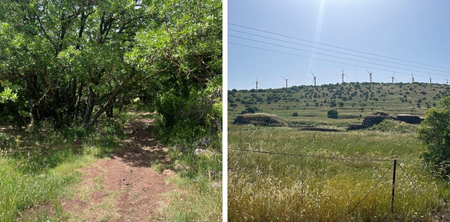
Heading up the hill, alone and afraid, I remembered how yesterday’s Valley of Tears lecturer had pointed this direction at the Syrian counterpart of Mount Bental, and told his captive audience how nowadays its spooks aren’t only speaking Arabic. Why? Since the civil war there, Iran and Russia call the shots in Syria.
After the Golan Trail took a detour around a wind-turbine farm because the army was up there clearing mines, it went up another wooded hill that my maps and apps told me reaches to around half a mile from the Syrian border.
Heading up the hill, alone and afraid, I remembered how yesterday’s lecturer at the Valley of Tears had pointed this direction at the Syrian counterpart of Mount Bental, and told his captive audience how its antennas are presumably manned not only by Arabic speakers, because Iran and Russia really call the shots nowadays in Syria.
But the army jeep I’d passed earlier had told me it’s safe to go on any marked trail. Even the army contractor I’d called up by the turbine farm, who said I’d dare not go up there, declared the next hill over as safe as can be. And every hiker I passed said it’s perfectly fine to walk the entire Golan Trail.
So I forged on, assuming my every step was closely monitored by Syrians, Iranians, and Russians. The tree cover gave me a a little comfort; if I can’t see them, maybe they can’t see me.
Nearing the summit, still without seeing a human soul, the Golan Trail turns sharp right, southward bound, until it turns west, leaving behind the the Syrians, Iranians, and Russians.
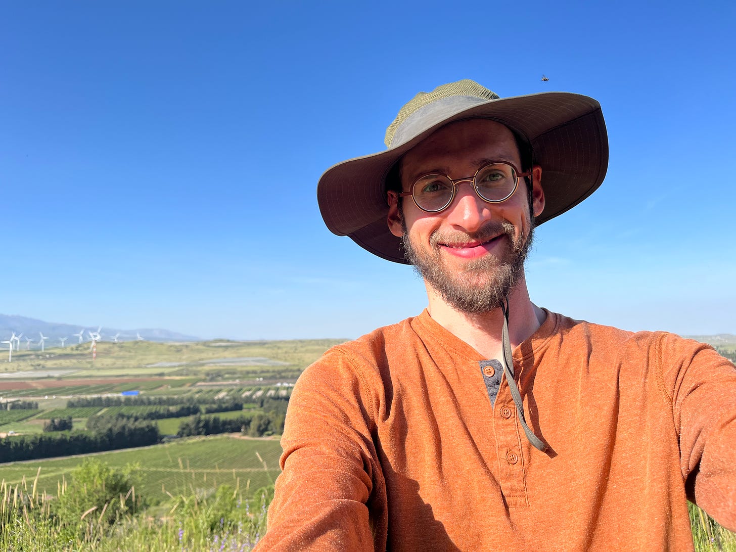
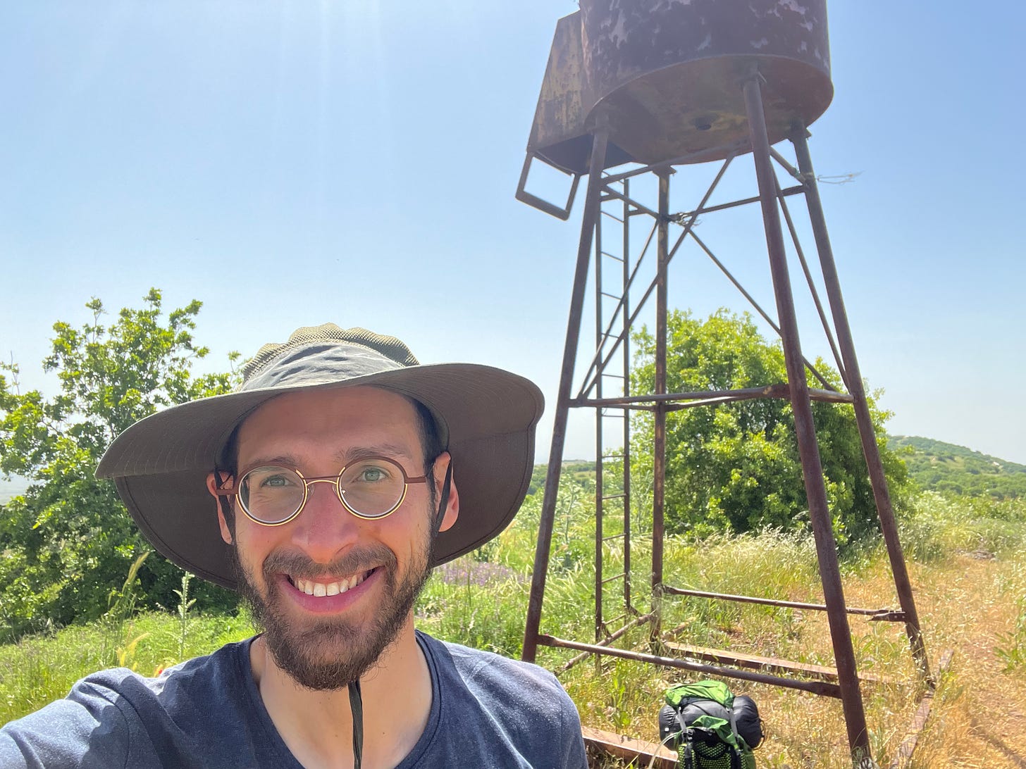
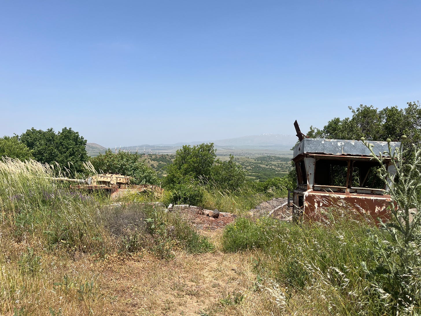
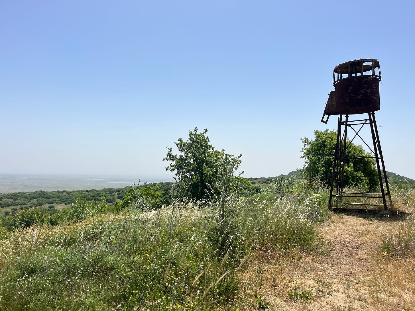
But if instead I’d make a left on a dirt road, my hiking app declared, a few hundred feet later I’d find an abandoned Israeli Army outpost – complete with a lookout tower, bunkers, and the mandatory rusting tank – that finally offered a break in the trees and a 360 degree view covering the entire Golan, much of northern Israel, and, of course, deep inside Syria. According to the app, this hill offers one of the best views in Israel.
So I turned left. As I exited the woods, spooks of three countries jumped to attention.
Panoramic View of Biblical Israel’s Two Regions
The view was indeed magnificent: not just the nature and geography, but because it offered an unusually sweeping perspective of biblical history.
The Torah divided the Land of Israel into two regions that are separated by the Jordan River. The Land of Canaan, between the River and the Sea, is the primary Holy Land, and was home to nine-and-a-half of Israel’s twelve tribes. To the east of the Jordan is the region some Torah scholars call the “courtyard of Israel,” a vast area that reaches out to the Euphrates (except for two zones adjacent to the Jordan and the Dead Sea that remain the lands of Ammon and Moab). This district was populated by the remaining two-and-a-half tribes.
Moses took the Jewish people out from Egypt, delivered them the Torah on Mount Sinai (in present-day Egypt), but God denied his entry into the Holy Land proper. He only entered and conquered Israel’s courtyard. After his death, his able disciple, Joshua, led the Jews across the Jordan into Canaan.
Millenia of Jewish sages and scholars have researched the exact borders of biblical Israel’s two districts, and pondered the profound meanings of every geographical detail. This is, after all, the land that “the [metaphorical] eyes of God are on from the beginning of the year until its end” (Deuteronomy 11:12). Several years ago, I spent several months studying this important subject.
Israel is also, as we’ve learned, the Land of Health. Therefore, as you might imagine I’d say, understanding its regions and borders can be instrumental for healthy Jewish living. (I hope to explain this in another article.)
So perched on this little knoll, I could look one way and wee Moses’ Israel, and the other way to see Joshua’s Israel. Just by turning around, I could follow my nation’s history as it reaches back to Moses and the Exodus and Sinaic Revelation, and then watch it march forward to the Israel of Joshua, David (and Avital), Solomon, Hezekiah, Ezra, Hillel and the Torah princes , all the other good guys and bad guys in between, and onward to today.
But only if I’d climb up the rusty old army observation tower. Between the hazy weather and the trees that had saved me from the spooks, the eastern side, facing Israel proper, was mostly obscured from the ground.
Should I go up?
Check out this post to find out what I did.
Thank you for reading Healthy Jew.
Here are 2 great paths to continue the journey:
Also check out this intro and index to explore hundreds of posts about our 3 Healthy Jew topics: Wellness with Wisdom, Land of Life (Israel), and Sensible Spirituality.
Finally, always feel free to reach out here with any comments, questions, or complaints:
I look forward to hearing from you!
Be well,
Rabbi Shmuel Chaim Naiman
Stephen Cope, Yoga and the Quest for the True Self, pp. 25

